
Hamilton ZIP Code Directory Coverage
Hamilton is served by several postal codes, but the most reliable question is always about a complete street address. The City of Hamilton Street Index records street name, side or parity, low and high address numbers, and ZIP. That makes it more precise than assuming a whole street has one code. The City of Hamilton GIS ZIP legend and the USPS ZIP Code Lookup help verify delivery and map context, while the City index supplies the documented local street ranges.
| ZIP | Hamilton examples in City Street Index | Hamilton post-office evidence | Hamilton limitation |
|---|---|---|---|
| 45011 | Hamilton core streets including Court, High, North and South Second through Seventh, and parts of Erie Boulevard | Hamilton Post Office, 105 Court St. | Primary Hamilton core ZIP; individual street ranges can split |
| 45013 | South, west, river-side, New London, Millville, Franklin, and Millikin examples in Hamilton | Rossville USPS location, 865 Franklin St. | The Hamilton name alone does not prove the code |
| 45014 | Berk, Enterprise, Rowe, Standen, and Joe Nuxhall Way examples in Hamilton | Nearby USPS office is Fairfield 45014 | Hamilton postal boundary fringe, not a city-limit line |
| 45015 | Benninghofen, Corwin, Freeman, Noble, Williams, and part of South Erie in Hamilton | City GIS and emergency material include Hamilton addresses | Hamilton postal area can cross municipal identity |
| 45012 | One visible City of Hamilton Street Index row, 10 Journal Square | Not in City ZIP polygon layer or Census ZCTA list | Special or legacy Hamilton mailing code, verify with USPS |
Do not add 45030, 45053, 45251, or 45252 to a Hamilton residential ZIP list merely because a regional GIS overlay displays them. The research found no City street-address range that supports doing so.
Hamilton ZIP Code Directory Ranges
Some Hamilton streets divide by house-number range or by which side of the street the address occupies. Belle Avenue’s odd numbers 1003–1099 are listed in 45015, while even 1008–1038 are listed in 45011. South Erie Boulevard 18–2214 is listed in 45011 and 2215–2344 in 45015. Tylersville Road has the same kind of split, with documented odd and even ranges in different ZIPs.
That is why a street name alone is not enough. Record the full number first, then check the City of Hamilton Street Index and USPS result. For renamed roads, search both Hamilton forms before treating a negative address match as final. The City Street Index identifies Joe Nuxhall Way as formerly Forest Lake Lane, and separate Hamilton sources document other older-to-current road-name bridges.
Note: An exact street number is more reliable than a street name for confirming a Hamilton postal code.
Hamilton ZIP Code Name Bridges
Postal verification can fail because the address itself has changed names. The City of Hamilton Street Index identifies Joe Nuxhall Way as formerly Forest Lake Lane. Other verified Hamilton bridges are the in-city portion of Hamilton-Cleves Road, now Pyramid Hill Boulevard, and Hamilton-Richmond Road, now Main Street. A 1912 Hamilton guide also records that Alston changed to Charles. Search old and current versions before deciding that a numbered address has no City Street Index result.
City of Hamilton Planning and Clerk records are the appropriate next channels when a permanent street change, vacation, or municipal-status question remains. The City of Hamilton Clerk holds Council agendas and minutes, while Planning handles plats, rezonings, street-name changes, vacations, and development cases. An honorary street rename does not change billing addresses, so it should not be treated as a postal-address update.
Confirm Hamilton ZIP Code Delivery
Use USPS for the final Hamilton delivery check, then use City of Hamilton tools for municipal context. The process begins with a full street number and street name, not a broad map shape. The City’s Hamilton Tools & Data page offers Property Search/MyHome resources for address context, while the City Street Index shows the Hamilton local-range evidence. A postal result can be correct for delivery and still say little about municipal jurisdiction or a Hamilton parcel’s legal record.
The following image comes from the Hamilton USPS ZIP Code Lookup.
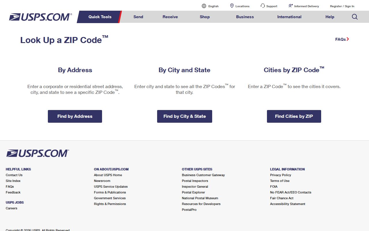
USPS is the appropriate final source for Hamilton delivery ZIP confirmation, while the City Street Index provides the Hamilton number-range check that a regional map cannot supply.
Hamilton ZIP Directory Boundaries
ZIP codes are postal delivery areas, not city boundaries. Hamilton addresses can carry 45014 even though the nearby postal identity is Fairfield, and 45015 can cover Hamilton addresses while reaching beyond a simple municipal label. The inverse problem is also possible: a postal label can appear familiar without proving that the address lies in the City of Hamilton. Check the Hamilton municipal boundary or parcel source when the question is about city services, districts, or jurisdiction.
- ZIP Code
- A postal delivery area used to route mail, not a municipal boundary or a parcel identifier.
- ZIP+4
- An added delivery segment that helps USPS sort mail more precisely within a ZIP Code.
- PO-box ZIP
- A code used for postal-box delivery that may not describe a neighborhood or a street-address area.
- Carrier route
- A USPS delivery grouping; it is not a city district or a public resident listing.
- Parcel situs
- The physical location field for a parcel, separate from postal and tax-mailing labels.
Find Hamilton Records by ZIP Code
A ZIP can narrow an address, but the documented Hamilton record systems are not a ZIP-wide directory of people. The Butler County Auditor Property Search for Hamilton begins with owner, address, parcel, map, sales, or advanced modes. Its Hamilton address route can give a parcel’s situs, current owner display, legal text, transfer clues, and parcel ID. The Butler County Recorder in Hamilton then organizes recorded documents by party, document details, and legal description, rather than a universal postal-code field.
- Write down the complete address and confirm its delivery ZIP with USPS.
- Compare the number and street with the City of Hamilton Street Index, then check City GIS or MyHome when municipal context matters.
- Open the Butler County Auditor Address Search for Hamilton to confirm the parcel situs and PIN.
- Use the PIN, legal description, or transfer clues for a recorded-document question at the Butler County Recorder in Hamilton.
- Keep delivery ZIP, parcel situs, tax-mailing address, and named record party as separate facts.
When the public screens do not resolve a property question, use the Auditor counter in Hamilton at 130 High Street, third floor, for parcel and tax-list help. The Treasurer follows after the parcel is known when the question concerns tax payment or account information. For a recorded document, the Recorder’s online index for Hamilton, book/page route, pre-1987 geographic or alphabetical index, counter, and email request are separate access channels. Once the ZIP is narrowed to a specific street, the Hamilton street directory provides the fuller address-based property and map trail.
Hamilton ZIP Code Verification Fields
The City Street Index, USPS, and county parcel system answer different parts of the same address question. Use the inputs and outputs as checks, not interchangeable labels. Neither the City’s address-point tools nor a parcel search is a person-search service. The City says its internal-oriented Site Address Points service should not be presented that way.
| Full street number | Needed to test a precise City Street Index range and to verify USPS delivery. |
|---|---|
| Street name and side/parity | City Index details that explain why one street can have more than one Hamilton ZIP. |
| USPS delivery result | The final postal ZIP confirmation for the exact recipient address. |
| Parcel situs | Auditor field locating the parcel itself, which may be useful for a property question. |
| Tax-bill mailing address | Auditor correspondence field that can differ from the parcel location and is not occupancy proof. |
| Legal description | Lot, block, subdivision, or other real-property identifier used to connect parcel and Recorder records. |
Hamilton ZIP Code Voter Limits
Ohio’s official Voter Lookup is an individual confirmation tool. It requires first name, last name, and county, and it does not offer a public ZIP-only route. A no-match may reflect a spelling variation, former name, former county, former address, cancellation, or protected registration. It is not evidence that someone never lived at a Hamilton address.
Ohio law makes key registration information confidential, including Social Security, driver or state-ID, telephone, email, Safe at Home information, protected qualifying-worker address data, proof-of-citizenship material, and other confidential information. The Butler County Board of Elections can answer narrow record-access or precinct questions, but its official channels should not be used to assemble a ZIP-wide roster.
Hamilton ZIP Code Parcel Labels
Postal geography and property records meet at an address, but they remain separate systems. The Auditor distinguishes a parcel’s situs address from its tax-bill mailing address. The Recorder follows document number, party name, date, book or page, and legal description. An off-site mailing address can identify an owner, estate, company, or agent, so it should not be read as a resident claim. The property chain needs the parcel ID and legal description, not a ZIP alone.
The visual below is from the City of Hamilton Tools & Data resources.
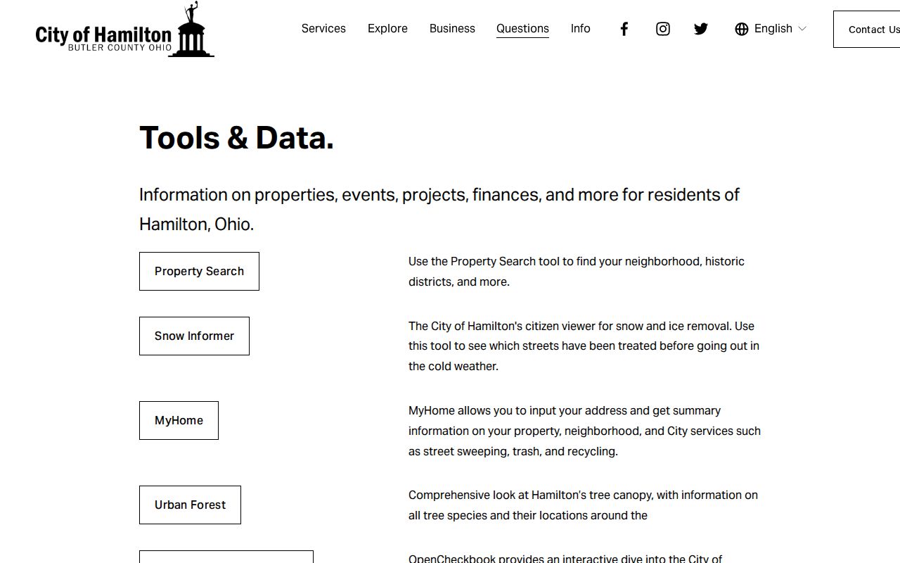
City mapping tools can place an address in local context, but the Auditor and Recorder remain the named custodians for parcel and recorded-document facts.
Hamilton ZIP Code Myth: 45012
A Hamilton ZIP code seen in one source is not necessarily a neighborhood delivery area. 45012 is the clearest local example. The City Street Index shows one visible row, 10 Journal Square, while the City ZIP polygon layer and Census ZCTA list do not show it. Treat that evidence as a reason to verify the exact recipient with USPS, not as a neighborhood ZIP or a general Hamilton mailing area. It is a useful reminder that special and legacy codes do not behave like ordinary street-range codes.
Note: A map overlay provides useful context, but a documented City range and USPS delivery result control the exact-address decision.
Hamilton ZIP Code Geography
Hamilton’s local geography is more detailed than a postal label. The city covers 21.5 square miles of land and had 63,399 residents in the 2020 Census, but Census geography, municipal limits, parcels, wards, and postal areas each have different boundaries. Use a ZIP only for delivery guidance. For a research question, identify whether the next source needs a street address, parcel number, legal description, municipal district, or named individual.
This screenshot is from the Census Hamilton geography query.
Census material gives city-level context, while the City Street Index and USPS lookup resolve the exact postal code of a Hamilton address.